Film p.t.: „Mapowanie i zdjęcia wielowymiarowe obszarów leśnych. Jak się to wykonuje”

Mapping and high-resolution photos of forest areas. How are they made?
A drone makes it possible to take a series of photos at once which can be later used for many recreations - such as creating a 2D map or studying the health of plants or even creating a 3D model of the photographed area in order to closely study portions of a forest. In order to do this, the forest areas must be mapped.
This is why the film presents subsequent steps in the mapping process, the first of which is to determine control points and then to fly over the selected area.
The film also shows how photos made by a drone are processed into a 3D format. In this format it is possible to conduct multi-aspected surveys of forest areas - measuring the height of a tree stand, monitoring of hard-to-access places, etc.
-
Wywiady
-
 Category : WywiadyDescription :
Plany Lasów Państwowych na II połowę 2012 r. i 2013 r. – nowe zasady sprzedaży drewna i modernizacja zasad kontroli w Lasach Państwowych.
Rating :5513 Views -
 Category : WywiadyDescription :
Wywiad: Brak porozumienia klimatycznego może mieć fatalne skutki - mówi poseł do Parlamentu Europejskiego Jo Leinen. Szef delegacji PE na szczyt klimatyczny w Durbanie zachęca do stanowczości w walce z kryzysem klimatycznym, który pozostanie aktualny dłużej niż kryzys gospodarczy. [Dostawca filmu: Parlament Eurpoejski]
Rating :949 Views
-
-
Wydarzenia
-
 Category : WydarzeniaDescription :
W dniu 30. maja 2012 r., na terenie Instytutu Badawczego Leśnictwa w Sękocinie Starym odbyły się uroczystości związane z Ogólnopolskimi Dniami Lasu.
Rating :882 Views -
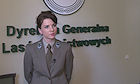
 Category : WydarzeniaDescription :
Dyrektor Generalny Lasów Państwowych Adam Wasiak podczas Ogólnopolskich Dni Lasu 2012 - powitanie
Rating :1322 Views
-
-
Inne
-
 Category : InneDescription :
Zobacz niesamowite ujęcia w zwolnionym tempie ptaków przy karmniku. Niewinne z pozoru ptaki roślinożerne okazują sobie wrogość walcząc o dostęp do pożywienia. Do próby sił dochodzi nawet w locie.
Rating :0 Views
-
-
Muzyka
-
 Category : MuzykaDescription :
Piękno lasów na całym świecie - piękne ujęcia
Rating :1692 Views -
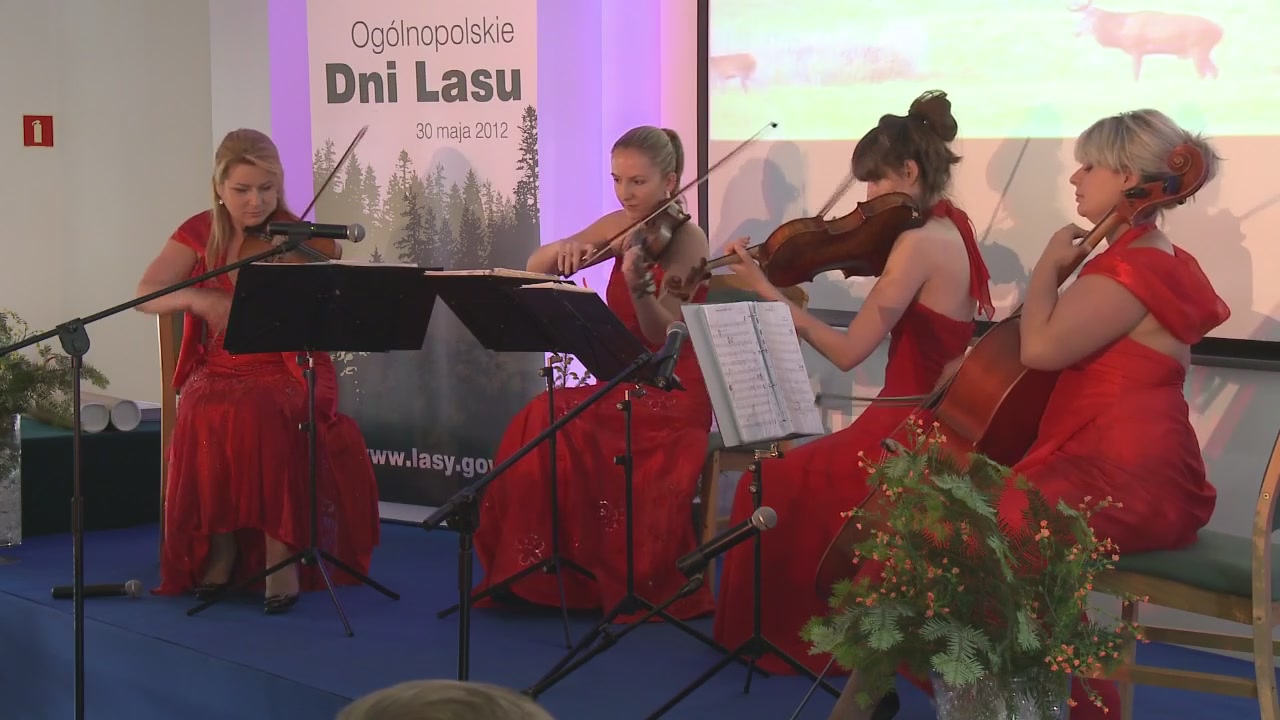 Category : MuzykaDescription :
Występ zespołu "The Strings" podczas Ogólnopolskich Dni Lasu w Sękocinie Starym (IBL). 2012 r.
Rating :727 Views
-